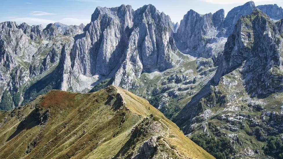

If there's one takeaway from hiking the Peaks of the Balkans, it's that your phone is more than a camera. With the right apps, it becomes your essential trail buddy to help navigate on the trail and find the best spots along the way. Deep down, I still love paper maps and GPX files, but for most hikers easy-of-use and convenience matters the most. I've compapred the most popular apps for the Peaks of the Balkans trail, so you can pick what suits you the best.
- Best all-round app: Peaks of the Balkans Map
- Best visual planner: Komoot
- Best alternative route discovery: AllTrails
- Best ad-hoc offline navigation: Mapy
- Best travel companion app: MAPS.ME
Why hiking with apps matters
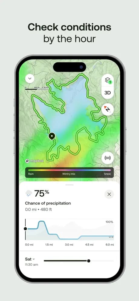
- Reliable navigation: Weather can roll in fast in the Accursed Mountains or snow can linger and cover the trail. Offline GPS layers help you confirm that key question we always ask ourselves: "Am I on trail?"
- Smarter overnight planning: Finding the right place to stay for the night is key for planning - being prepared can make you hike straight from A to B.
- Cultural context on the move: Points of interest, waterfalls, and WWII bunkers hide just meters off-trail. App-based highlights make sure you collect those moments.
How I compared the apps
- Offline performance: Every pick works without reception once you download maps or trail sections.
- Trail coverage: These apps include the full circuit plus alternate stages commonly used by hikers.
- Ease of use: Clear UI, fast search, and no-nonsense sharing capabilities so you can sync plans with your hiking partners.
- Extra value: Lodging databases, weather overlays, or training tools that justify space on your home screen.
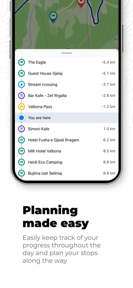
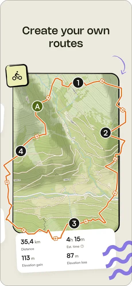
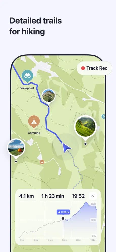
1. Peaks of the Balkans Map
Best for: Hikers who want easy-of-use, simplicity and an annoted map with key points of interest on the trail
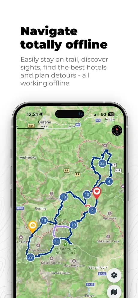
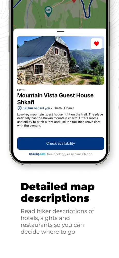
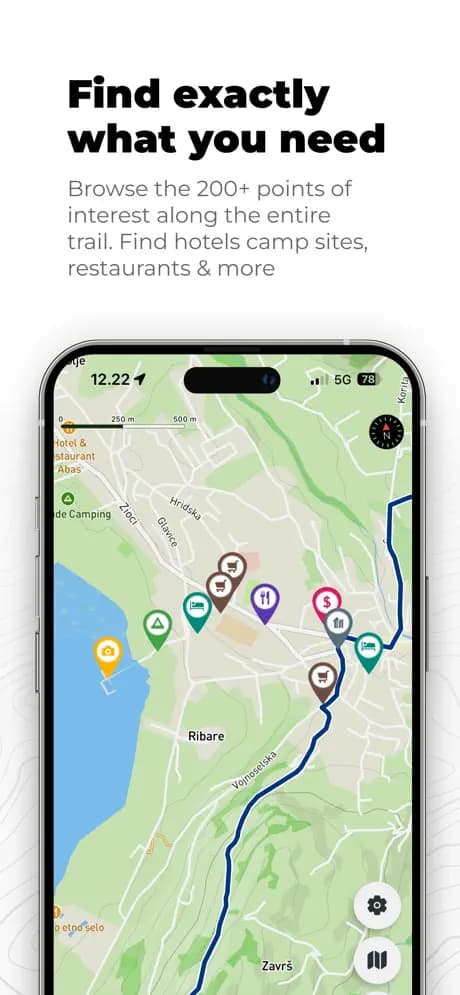
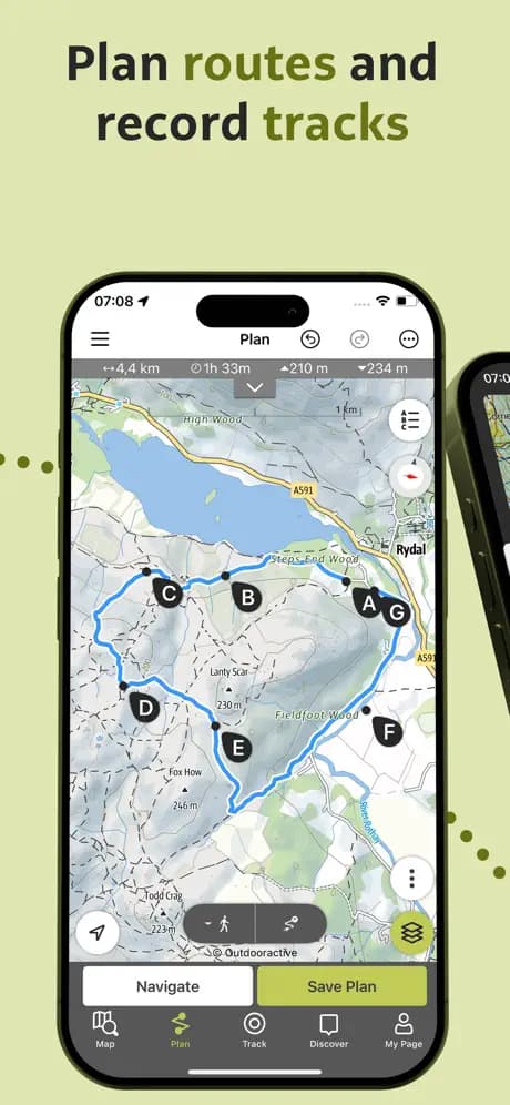
This is the app we built because nothing else captured the nuance of the Peaks of the Balkans. The full circuit and alternates are preloaded with verified GPX tracks, every trail-friendly guest house is pinned and can be easily booked. You can download the whole map for offline use, browse POIs across categories (accommodation, water sources, restaurants, sights), and bookmark your nightly stops to keep a running itinerary. This is the only dedicated app for the Peaks of the Balkans trail which makes it do one thing and do it well.
- Platforms: iOS and Android
- Offline capability: Yes, free to download and use offline
- What stands out: Trail-specific data, curated points of interest, easy to use and navigate
- Keep in mind: Designed exclusively for Peaks of the Balkans, so coverage outside the region is limited (by design!)
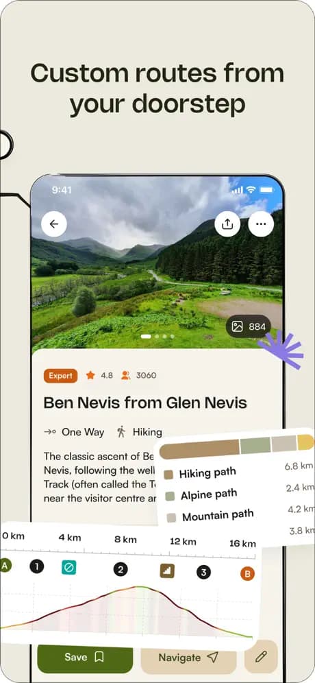
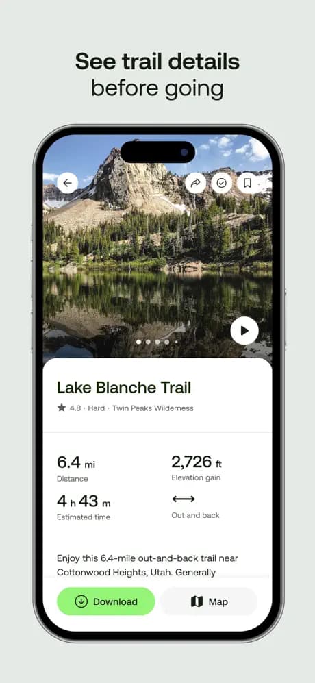
2. Komoot
Best for: Visual planners who want polished routes, Collections, and voice-guided cues on the harder-to-follow forest sections.
Komoot feels built for multi-day adventures. You assemble each stage, drop highlights directly onto the map, and share the fully annotated itinerary with friends. The Peaks of the Balkans is fully covered in their Premium package, so you can download regions offline, switch between hiking, bikepacking, or trail running profiles, and let the app suggest detours to glacial lakes. I like the way Komoot surfaces community Highlights-little pins with trail notes and photos.
- Platforms: iOS, Android, Web
- Offline capability: Entire regions downloadable with Premium
- What stands out: Collaborative Collections; easy exporting to Garmin, Wahoo, or GPX
- Keep in mind: Premium subscription required for multiple regions and multi-day weather layers
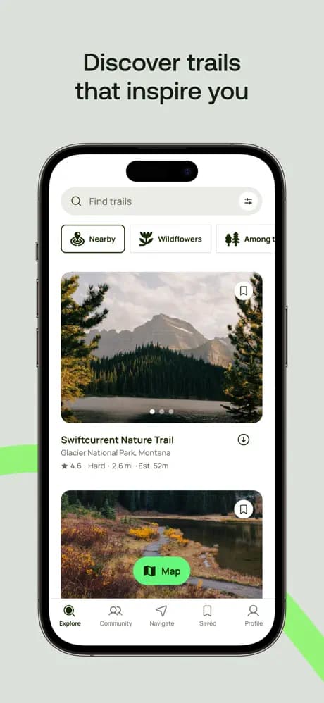
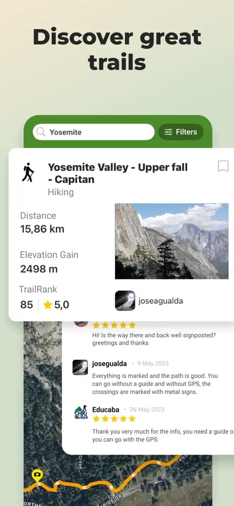
3. AllTrails
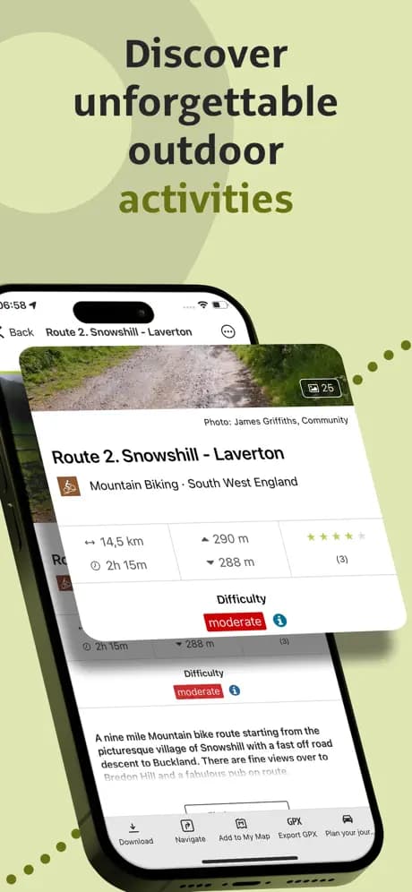
Best for: Discovering alternate routes, reading current condition reports, and browsing hiker photos before committing to a variant.
AllTrails' database is gigantic and that can be both a blessing and a curse. Opening up the app can be overwhelming at times and it requires a little persistence to show the right trail for Peaks of the Balkans. However, if you plan on discovering alternate hikes around the area, AllTrails is a great tool to have. The filters make it simple to sort by difficulty, distance, elevation gain, or dog-friendly trails if you're scouting day hikes ahead of starting the loop. AllTrails+ unlocks offline downloads and the lifeline off-route alerts.
- Platforms: iOS, Android, Web
- Offline capability: Pro/AllTrails+ subscription
- What stands out: Huge community, recent imagery, Lifeline safety sharing
- Keep in mind: Route lines can vary in quality-cross-check with official GPX files
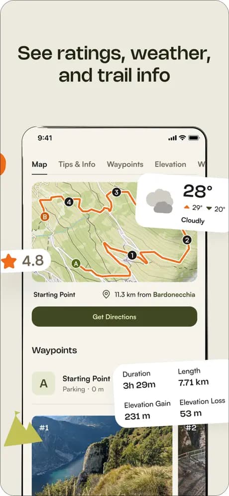
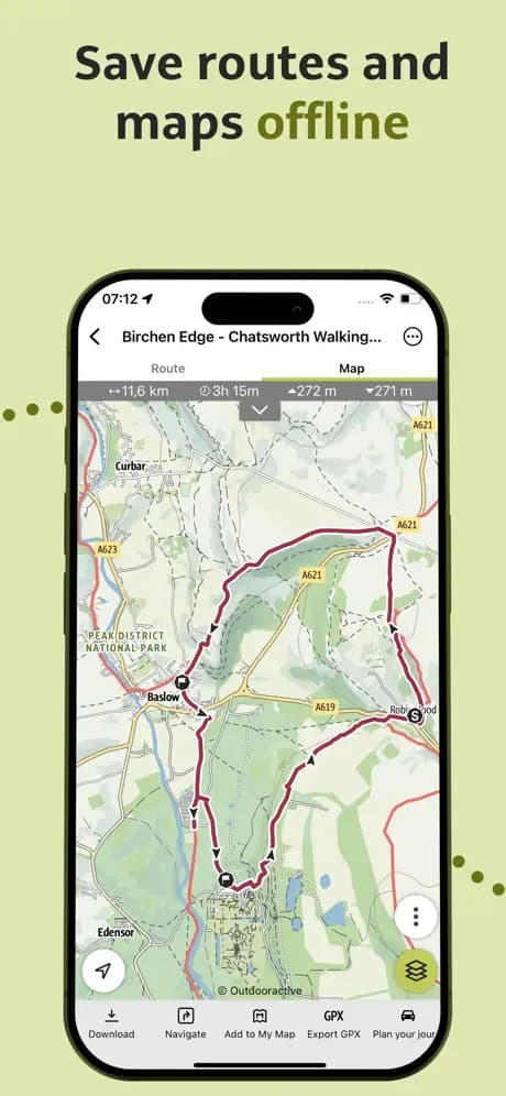
4. Outdooractive
Best for: Hikers who want German Alpine Club-quality topo layers, hut info, and precise elevation profiles.
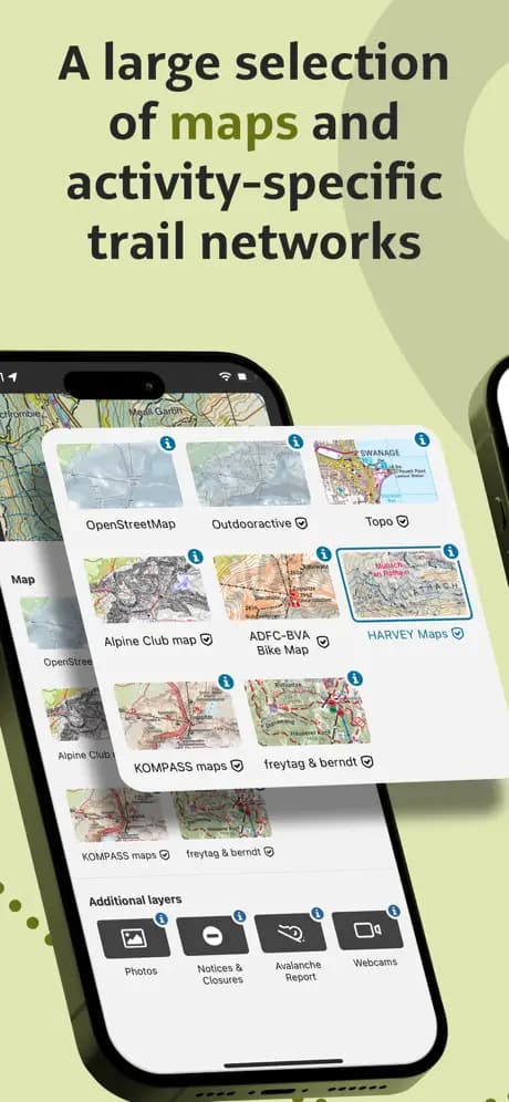
Outdooractive grew out of the Alpine club ecosystem, so the cartography is razor sharp. You can toggle Summer vs. Winter layers, inspect avalanche terrain, and print custom PDFs as backups. For the Peaks of the Balkans you can use Outdooractive to get really nitty-gritty in the detail of the trail and mountain passes - howver, most likely this is a bit of an overkill for many POB hikers. The app also stores contact info for many guest houses, so you can message potential hosts from the map. Premium unlocks advanced planning tools like slope angle shading, weather overlays, and the “snap to trail” route builder for micro-adjusting long days.
- Platforms: iOS, Android, Web
- Offline capability: Premium download packs
- What stands out: European topo detail, Alpine Club huts, printable maps
- Keep in mind: Interface feels busy until you customize visible layers
5. Wikiloc
Best for: Budget-minded hikers who want crowd-sourced GPX tracks plus optional live-tracking beacons.
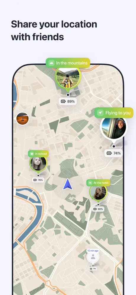
Wikiloc built its reputation on user-generated routes, and the Peaks of the Balkans is well represented. You can follow official stages or tap into creative variants. Downloading GPX files is affordable, and the Premium tier enables “Live Tracking” so your safety contact can see you progressing along the path. Their elevation profiles are also very detailed and useful and is presented in a sleek UI - to me, this is one of the apps strongest points.
- Platforms: iOS, Android, Web
- Offline capability: Yes, with paid membership
- What stands out: Cheap GPX downloads, live tracking, simple UI
- Keep in mind: Route quality depends on the uploader-double-check distances and ascent data

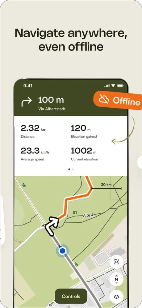
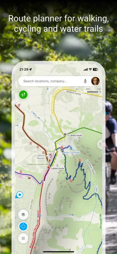
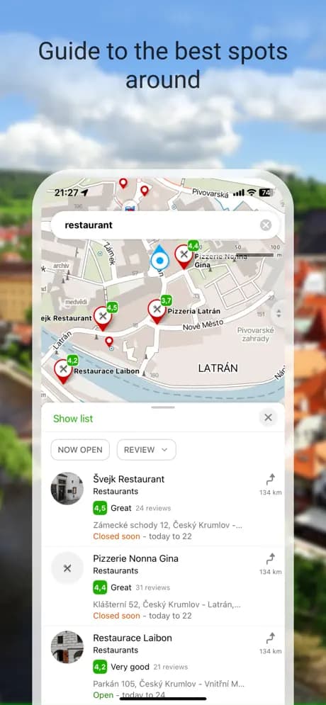
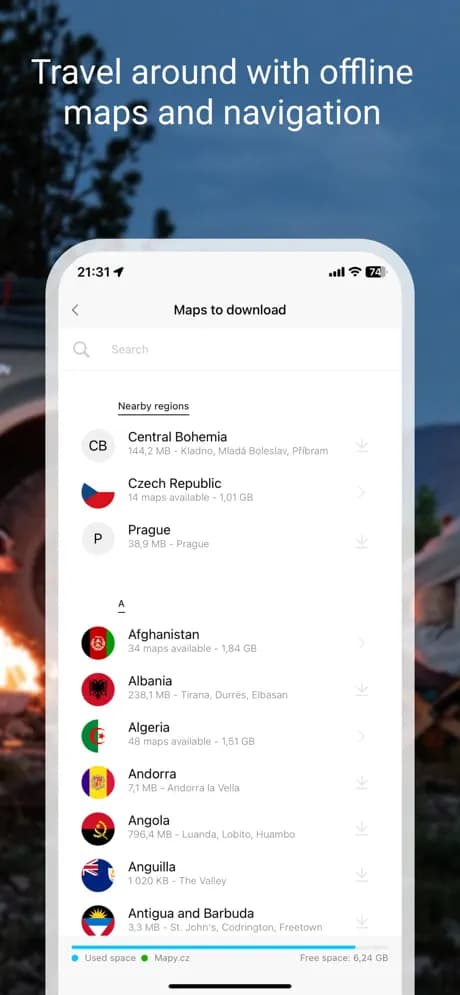
6. Mapy
Best for: Free, high-quality offline maps with excellent contour detail and tourist infrastructure icons.
Mapy is a popular Czech app that is very popular on the trail. Download the Balkans region once and you get contour lines, precise trail markings, springs and other points of interest along the trail. The app lets you pinch-zoom without data, track your GPS position, and save favorite places for later. Mapy is popular on the trail and I used it to make a shortcut from Doberdol to Babino Polje.
- Platforms: iOS, Android, Web
- Offline capability: Entire countries for free
- What stands out: Legible topo maps, POI-rich data, zero cost
- Keep in mind: Fewer social or trip-planning features compared to paid apps
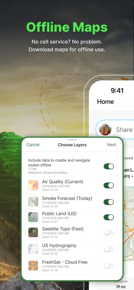
7. Gaia GPS
Best for: Navigation enthusiasts who want to layer topo, satellite, slope angle, and weather data into one interface.
Gaia GPS shines for precision. You can stack multiple layers-OpenStreetMap, National Geographic Trails Illustrated, even NASA wildfire data-then adjust transparency to build the perfect situational picture. The Premium tier unlocks global offline maps and specialized overlays that pay off if you plan shoulder-season trips or hybrid treks that include bikepacking segments.
- Platforms: iOS, Android, Web
- Offline capability: Premium subscription for best layers
- What stands out: Layer stacking, detailed analytics, third-party map sources
- Keep in mind: Steeper learning curve; worth setting up at home before flying to Tirana
8. MAPS.ME
Best for: Travelers who need one offline app for navigation, logistics, and spontaneous detours in towns along the route.
While MAPS.ME is not a specialist hiking tool, it's indispensable once you dip into towns. Download Albania, Kosovo, and Montenegro before you leave home and you'll have offline search for ATMs, bakeries, bus stops, hardware stores, and even clinics. That's gold when you need cash in Plav or want to locate a SIM-card shop in Shkodër. The built-in turn-by-turn driving directions help with shuttle days, and the bookmarking feature keeps track of restaurants or viewpoints you hear about from fellow hikers. Pair it with one of the trail-focused apps above and you have the complete package: logistics plus mountain navigation.
- Platforms: iOS, Android
- Offline capability: Yes, entire countries
- What stands out: General travel POIs, fast offline search, simple UI
- Keep in mind: Lacks specialized trail metrics; use it as a companion, not your only navigator

Final thoughts
Each of these apps brings a distinct strength to the Peaks of the Balkans experience. The good thing is, you don't have to limit yourself to just one. I'd suggest starting by checking out Peaks of the Balkans Map to get offical GPS tracks and an overall feel for the trail. If you want more advanced functionality, Komoot is a great visual planner that allows you to create custom routes and share them with hiking buddies. Lastly, MAPS.ME is a great travel companion app that can help you find your way around towns and cities along the trail and will prove itself to be quite handy.